Lessons of the Levees
The Big Picture Home Page | Previous Big Picture Column | Next Big Picture Column
Lessons of the Levees
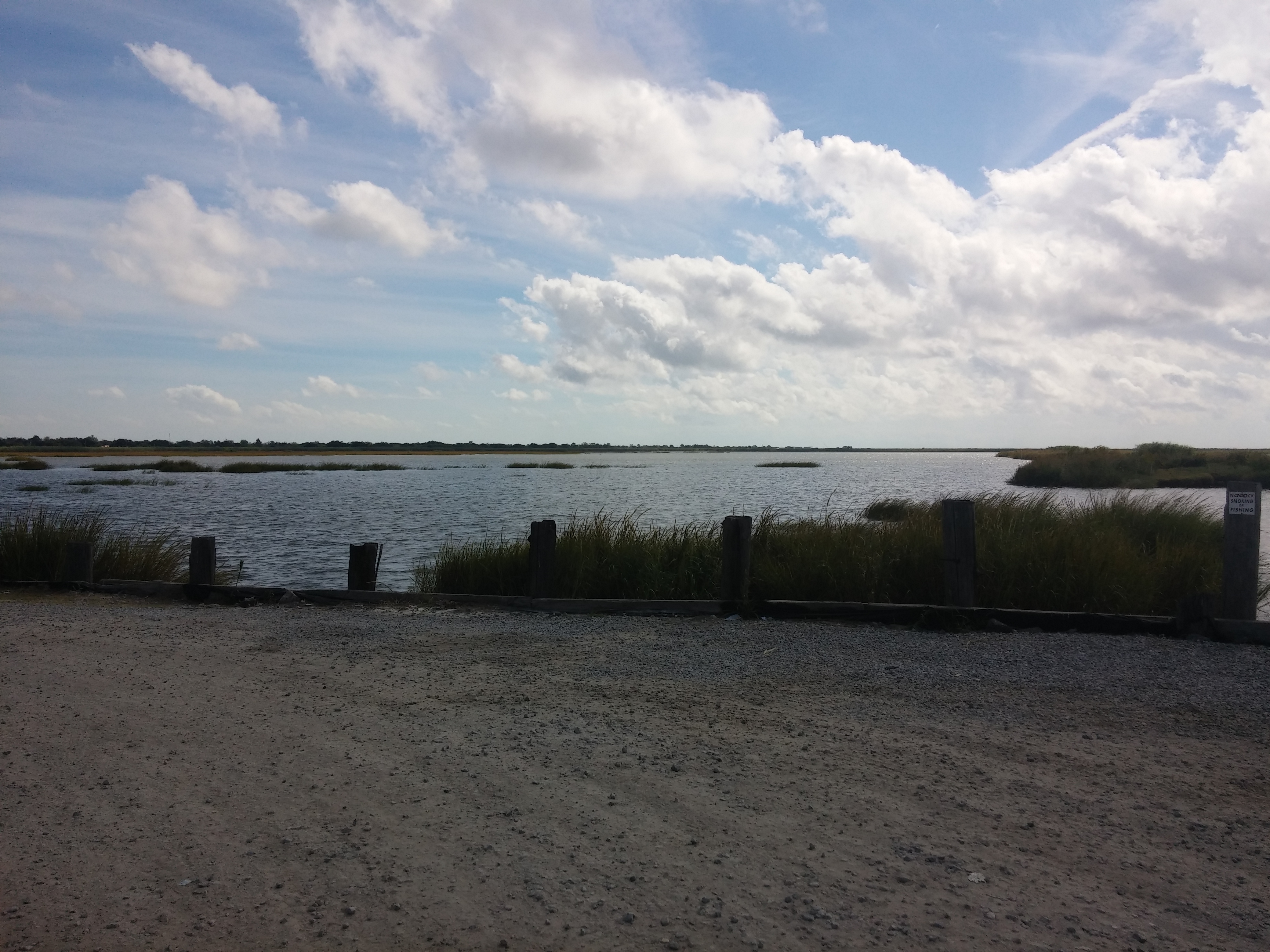
Looking out over decaying islands at the encroaching Gulf, near Venice, Louisiana
To be published in The Daily Record the week of October 23, 2016
No traveler who drives down the Mississippi from end to end, as I recently did, can fail to be struck by the levees, those endless not-found-in-nature hillocks and walls that start popping up in Illinois and Iowa, become almost continuous around Cairo, Illinois, and accompany the traveler most of the rest of the way to the very end, at Venice, Louisiana, where the Mississippi River Delta[1] plays out into the Gulf of Mexico. The Army Corps of Engineers, charged with creating and maintaining most of the system, has justly compared the levee system to the Great Wall of China.
Opposite Designs
Sometimes the levees are by the water, sometimes they’re miles inland. Some are high, some are low. But south of Cairo, they’re ubiquitous, by design – specifically, the design contemplated by the Flood Control Act of 1928,[2] passed in response to the catastrophic Mississippi floods of the previous year. That Act anticipated without any rhetorical qualification “that all diversion works and outlets constructed under the provisions of this Act shall be built in a manner and of a character which will fully and amply protect the adjacent lands.”
Fully and amply protecting the adjacent lands was not Mother Nature’s design. When the current version of the Mississippi was fashioned about 12,000 years ago, the “plan” was for a watercourse with constantly fluctuating boundaries. In its natural state, the river would flood when there was an unusual amount of water on hand, scooping helpings from the generous alluvial topsoil of the surroundings, and carrying that soil downstream, even as far as the Gulf of Mexico, creating the vast network of islands we call the Delta.
The inevitable byproduct, then, of shielding midwestern farmlands and cities from variations in the river’s height was denying the downstream river, and hence the Delta, access to the upstream soil Nature was trying to send. The Delta was not built to thrive without it, however. Gulf islands compact and decay without that nourishment. So, even under normal conditions, “fully and amply protecting” the upstream lands would not end well for the downstream Delta. And these are not normal conditions; the sea is rising, and the activities of the oil and gas extraction industries are independently causing the Delta to decay. We lose a football-field-sized chunk of the Delta almost every hour. But we need the Delta.
What Katrina Showed Us
If for no other reason, we need the Delta because coastal wetlands tamp down storm surges from the hurricanes that plague the Gulf. It is unquestionable that had the Delta been larger and in better shape, the storm surge of Katrina in 2005 would have been less severe. In New Orleans, that surge backed up water through Lake Pontchartrain, the great reservoir north of the city, triggering secondary backups in canals that were supposed to empty into the lake. Those backups made the levees around those canals fail, flooding 80% of the city.
The proximate cause of that disaster, then, was the ill-built canal levees, but the depleted Delta, a direct consequence of the public policy choice to build the Mississippi River levee system, was certainly a contributing cause, through the surge the Delta could not mitigate. We don’t know to this day how many New Orleans lives were lost in consequence of the Katrina disaster, but it was many hundreds. The property damage is likewise incalculable, but an indicative statistic is that insured property losses in southeast Louisiana came to $8 billion – this in a chronically under-insured state. And the psychic wound to New Orleans has left a permanent scar.
New Orleans has since built improved canal levees and surge protections, and will almost certainly weather the next Katrina better. But the decay of the Delta goes on. And the river levees that bear such responsibility for that decay are not coming down.
Ever Thicker and Closer
Below New Orleans, these barriers become both the cause of the decay and the protection from it. As you drive down, you cannot see the River because the highway largely lies between two levees, and in that protected zone there is frequently a semblance of permanence and normality: homes and farms and businesses. But there are also signs of how fragile this “permanence” is: schools and houses built on stilts, sloughs filled with water, and blue zones of various shapes and sizes getting ever thicker and closer on the GPS map to your left and to your right as you push south. As you get beyond the last levees, there are moments where this intermixture of river and gulf gets so close you would be in the water if you wandered off the roadway as far as ten feet on either side. The erosion of the land goes on relentlessly.
New Orleans had to be rebuilt, of course. It was too important commercially, socially, and artistically, not to rebuild – and the dynamism and new blood evident in many formerly devastated areas, including the infamous Lower Ninth Ward, which I visited on my trip, demonstrate the value wrought by the commitment not to let New Orleans die. The city must thrive again, and can only do so in the zone the levees protect.
The Levee State of Mind
But in a larger sense levees are a state of mind and of being we need to question. They create safety at a heavy price, safety that will not always prove reliable, and they defer failure until catastrophic events, giving rise to a false sense of permanence before the reckoning comes.
We need to use the time they buy to address enough of the complex interrelated problems of global warming, risk management, and wetlands depletion so that the normal feeling to life inside our “levees,” our ecological and technological niches of whatever type, will prove justified over the long term.
The sea is rising. Can we keep our heads above water? Or will our very measures against drowning become the things that eventually drown us?
_________________
[1]. This term is confusingly to be distinguished from the Mississippi Delta region, a plain in the northwest corner of the state of Mississippi, notable for cotton and the blues.
[2]. 70th Congress, Sess. 1, Chapter 569.
Copyright (c) Jack L. B. Gohn
The Big Picture Home Page | Previous Big Picture Column | Next Big Picture Column